


Community-Led Participatory Mapping to Support Watershed Management and Ecosystem Resilience in Nepal
Research Location:
Implemented: Nepal
Conservation Partners:
Nepal Engineering College, Virginia Institute of Marine Science, and Global Research Institute
Student Researcher (2024)
Cecilia Elsisi, Major Art History; Major: Environment & Sustainability (Humanities Track)Student Researcher (2024)
Dylan Mantovani, Major: International RelationsStudent Researcher (2023)
Joseph Baca, Major: Psychology; Minor: Creative WritingStudent Researcher (2023)
Jack Hayes, Major: Data Science, Spatial Data Analytics; Minor: MathematicsFaculty Mentors
Dr. Sapana Lohani and Robert Dongol (Nepal Engineering College)
Project Description
A team of W&M and Nepali undergraduate students are working with faculty, conservation partners, and local communities to utilize participatory mapping techniques to better understand the community's perspectives and goals for advancing watershed management and policy. This research helps to support the persistence of Nepal's critical ecosystems and fisheries in the face of pressing threats and to ensure that the local communities thrive.
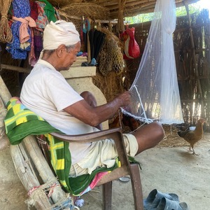
The Gandaki River, a relatively small tributary to the Ganges River, supports biodiversity and the livelihoods of many communities in Nepal. The river, which originates from the famous Annapurna Range, is well known to tourists and an important source of freshwater fish diversity. However, the river is under tremendous pressure from natural and anthropogenic disturbances. The communities depend on the river for water, as well as fish, which are the main source of protein and income to sustain their livelihood. In collaboration with the Nepal Engineering College and Indigenous communities, a team of W&M and Nepali undergraduate students are implementing a community-led participatory mapping project in the Gandaki River Basin in Nepal designed to promote community-led watershed management in Nepal.
Participatory mapping is a method of community involvement that connects researchers and community members and reveals important local knowledge. Participatory mapping is a process that uses cartography to ensure the knowledge, values, and perspectives of local communities are central to and integrated into the design, implementation, and application of research to decision-making. Participatory mapping approaches are especially important for ensuring that the local communities who depend upon the water resources of the Gandaki River in Nepal are involved in the design, implementation, and application of research to decision-making regarding conservation policy and management.
In 2023, students utilized participatory mapping techniques to explore the ways that local communities and Indigenous peoples connect to and depend on the biodiversity and natural resources of Gandaki River and documented their perspective on conservation solutions to protect the Gandaki River Basin. This project contributed to a successful first year of the Nepal Water Initiative, an interdisciplinary W&M collaboration between VIMS, the Global Research Institute, Religious Studies Department, and Nepali partners, focused on exploring the resilience of Nepal’s watersheds and fisheries.
Building upon this success, Cecilia Elsisi '26 and Dylan Mantovani '26 will continue community-led participatory mapping in the Gandaki River Basin and the Koshi River Basin in Nepal in 2024. The team will use questionnaire surveys, focal group discussions, and interviews with local stakeholders to: assess state-of-the-art freshwater fishes and their input in local livelihood; identify issues, challenges, and resilience to developmental infrastructures like hydropower dams; document and map local ecological knowledge on issues of watershed management, conservation, and livelihood improvement; and assess community perceptions and practices to inform policies on community-based water resource management and conservation.
This research will contribute to a watershed management strategy that promotes conservation and the well-being of communities in Nepal and will serve as a model for how participatory mapping can promote community engagement in management and policy.
Project ID - Format
23-016-23 - CRP Year
23-016-24 - CRP Year
