 Skip to main content

Algorithms for the Anthropocene: W&M professor discusses machine learning in a changing Arctic
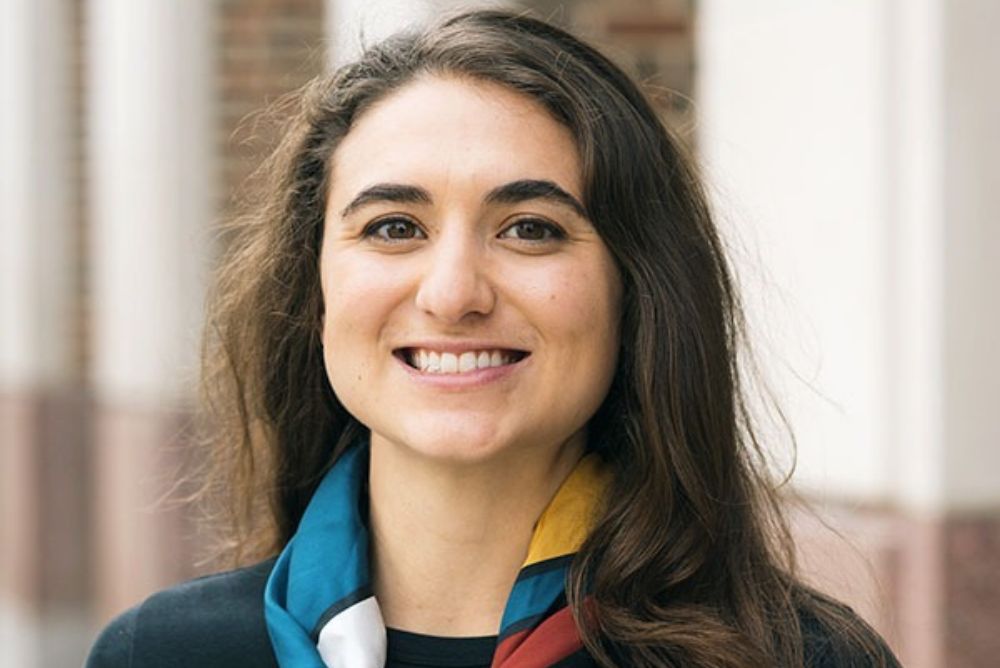
Studying the Arctic is now more accessible than ever thanks to the availability of satellite imagery and “big data." Joanmarie Del Vecchio, assistant professor of geology, uses both traditional field approaches and machine learning to map how the Arctic landscape is changing in response to rising global temperatures. She'll present her research progress at the next Faculty Research Forum on Nov. 11 from noon to 1 p.m. in the Muscarelle Museum of Art's Event Hall.
Del Vecchio recently shared more about her research ahead of her talk at the forum.
Q: How would you explain your research to someone who is totally unfamiliar?
A: I'm a geomorphologist. I study the science behind the scenery. I watch how mountains, rivers, and landscapes grow and change in response to changing climate. Sometimes those changes have happened in Earth's past, like 20,000 years ago, at the last Ice Age. Here in our backyard in Virginia, it would have been really cold and frozen like Alaska is today. That landscape changed when the climate warmed back up again and the same thing is happening up at the higher latitudes in the Arctic, and so I also watch the modern Arctic as it is also responding to climate change and warming at the poles.
We tend to have a lot of carbon stored up in all the frozen soil where microbes can’t get it, like frozen food in your freezer. When permafrost thaws, it’s like opening up that freezer and letting it thaw, and the microbes start to break it down and all those microbes release greenhouses gases. So, I watch landscapes change, and I watch how they changed in the past to better predict their future trajectories.
Q: What problem is your research trying to address?
A: One of the problems is that we don't know exactly how much carbon is going to come out of these thawing permafrost landscapes. We know there's plenty of carbon stored in those soils. But when the planet gets warmer and when these landscapes start to change, where does that carbon go? Does it all get released? Does it all get stored somewhere else, like buried in sediments? Is there something in between we don't know? It's actually one of the biggest known unknowns of future climate change and greenhouse gas emissions on our planet. One of my goals is to use the physics of landscapes, as well as big data sets, to try to understand how those landscapes are changing right now so that we can make better predictions for the next 10, 25, 100, and 1,000 years of change up there in the poles.
Q: Do you use artificial intelligence for your research?
A: My science will often use techniques of machine learning, when we use fancy statistics, basically, to make better predictive models, or use advanced algorithms to make maps. For example, I use machine learning in my research for what we would call “computer vision," which is training a computer to find things in satellite imagery. Using techniques like image segmentation or image recognition, we can ask a computer, “Hey, this is what a permafrost thaw slump looks like, can you go find more of them?” That is one way that I'm trying to map changes across the Arctic, because if you sat and tried to map them all yourself, you'd be there for years and years trying to click all over satellite imagery, but computers can harness all that data and use those algorithms to find some of those features more quickly.
Q: What do you hope audiences at the Faculty Research Forum take away from your talk?
A: One thing I'm really excited to share with folks is that there are so many different ways to approach the study of our Earth and our changing landscapes. Some days we might be interested in making these really advanced maps and harnessing these newer data sets, new computing power, new algorithms to make really extensive or precise maps or other representations of what's out there. But we also have to figure out why it is there and how it is going to change. And that's another set of questions where we use field observations or experiments or numerical models to accompany those new maps. I'm excited to share with this audience how both of those things can be united to tell better stories and make better predictions about how our planet is changing.
Q: How are students involved in your research?
A: I'll be presenting work from my students who make these wonderful maps of the Arctic. They spend hours and hours looking at satellite imagery, clicking out individual parts of images from aerial and satellite photography to map the changing Arctic and watch it change with remote sensing from satellites, from all the instruments we have orbiting our planet. I'll also present the wonderful work that students have done, literally getting their hands dirty in the field. Sometimes we can't see everything from space. We've got to make measurements in the field, so I'm going to show us going to the Arctic and collecting soil samples, measuring how soil moisture or temperature are changing across time and space. Both of these approaches are really important for understanding how these landscapes change, and it's in a place like the geology department where all of these things can happen. It's in a liberal arts setting, like at William & Mary, that undergraduate students can be engaging in both kinds of techniques, with these questions and research. I'm really excited to share this multidisciplinary, multi-faceted work that we've been doing tracking these permafrost landscapes.
RSVP to the Faculty Research Forum on Nov. 11. Lunch will be included.
The Faculty Research Forum highlights the academic excellence and interdisciplinary spirit at the heart of the College of Arts & Sciences, whether it's award-winning publications, new scientific discoveries, or innovative creative works. The forum brings faculty in Arts & Sciences together to share knowledge and celebrate collaborations across disciplines.