
For Students
The CGA supports students across all departments.
W&M undergraduate students interested in taking GIS classes should consider taking Introduction to GIS (GIS 201). This class provides an introduction to the fundamentals of geospatial technologies, including using Geographic Information Systems (GIS), Global Positioning Systems (GPS), basics of cartography, remote sensing and spatial analysis.
You can view all of our courses here.
For graduate students the introductory GIS class is Fundamentals of Geographic Information Science and Analysis (GIS 501). Graduate level sections of our higher level classes are also available. Reach out to the Professors for information on how to register.
Assisting Student Work
Students who would like to incorporate mapping or spatial analysis into their thesis, dissertation or other projects are encouraged to enroll in GIS courses found in PATH. The CGA does not make maps for students, we can point you to resources to learn how to make your map, StoryMap, WebApp or other geospatial technologies. If you need to print a map, reach out to Hackworth, W&M's Print Shop.
The CGA is a resource if you need to talk through a project structure, need storage space allocation for your geospatial project or need technical assistance. Do you need to borrow a GPS unit to conduct research? We have a lending program. Reach out to us via email, cga@wm.edu, to set up an appointment with one of our staff or faculty members or to reserve equipment.
Research in the CGA
W&M students interested in participating in hands-on geospatial research work at the CGA should consider taking GIS 480 (1 credit/semester group projects).
You can fill out the form below to express interest:
https://forms.gle/paok9vD3MdgDyXYk9
Learn about former CGA research group projects:
 |
 |
 |
||
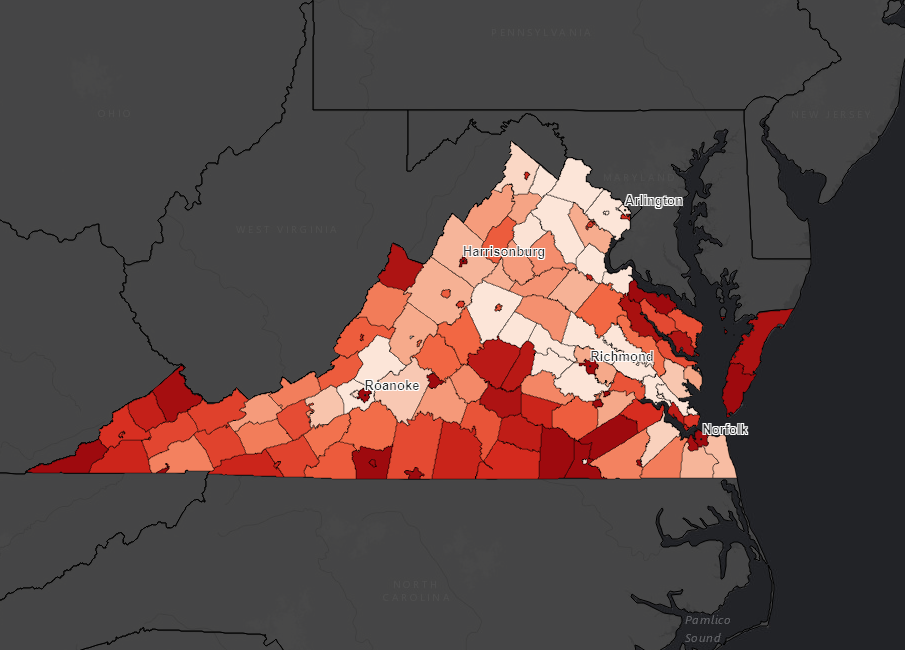
Childhood hunger in VA |
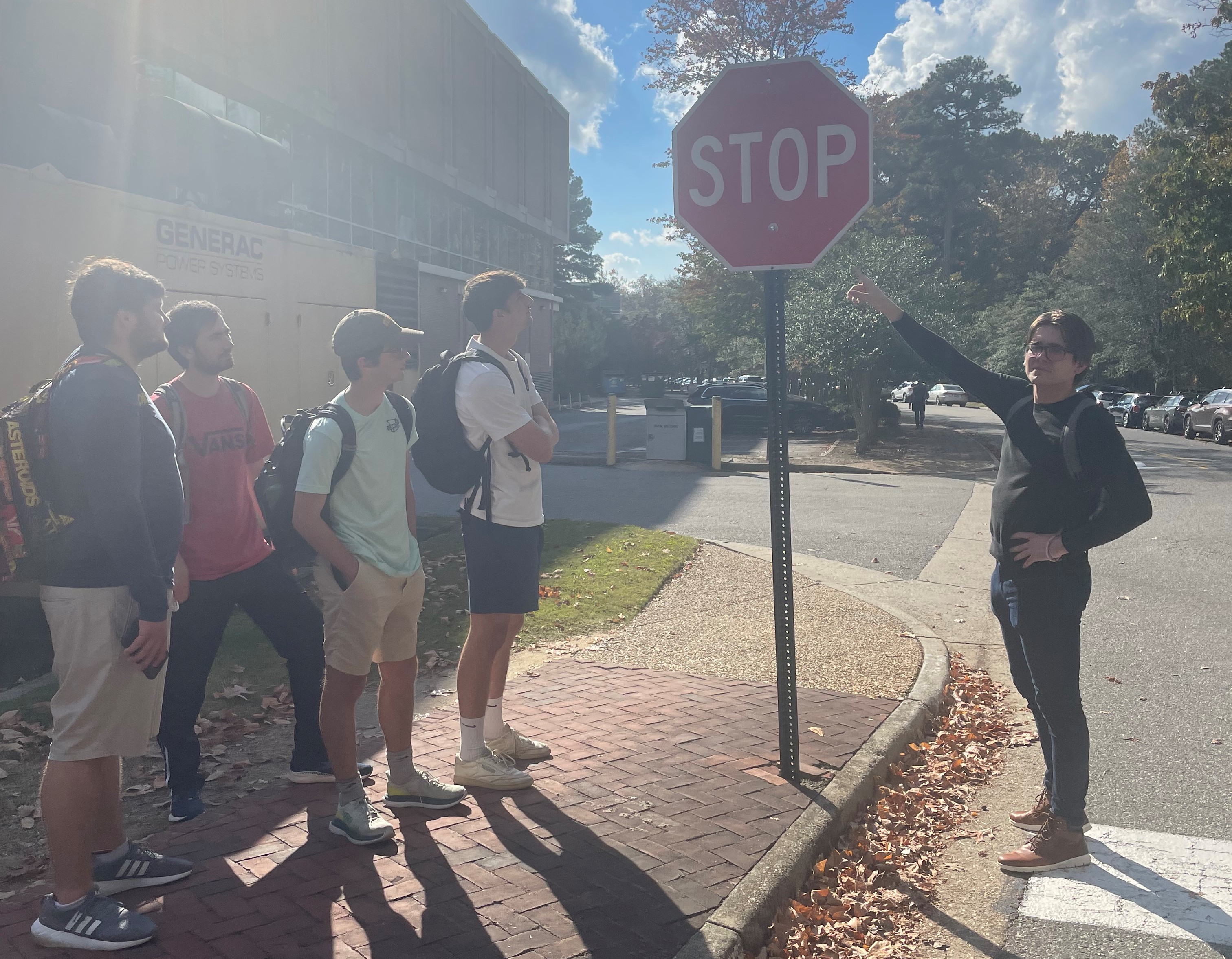
Sign and Bike Rack Survey |
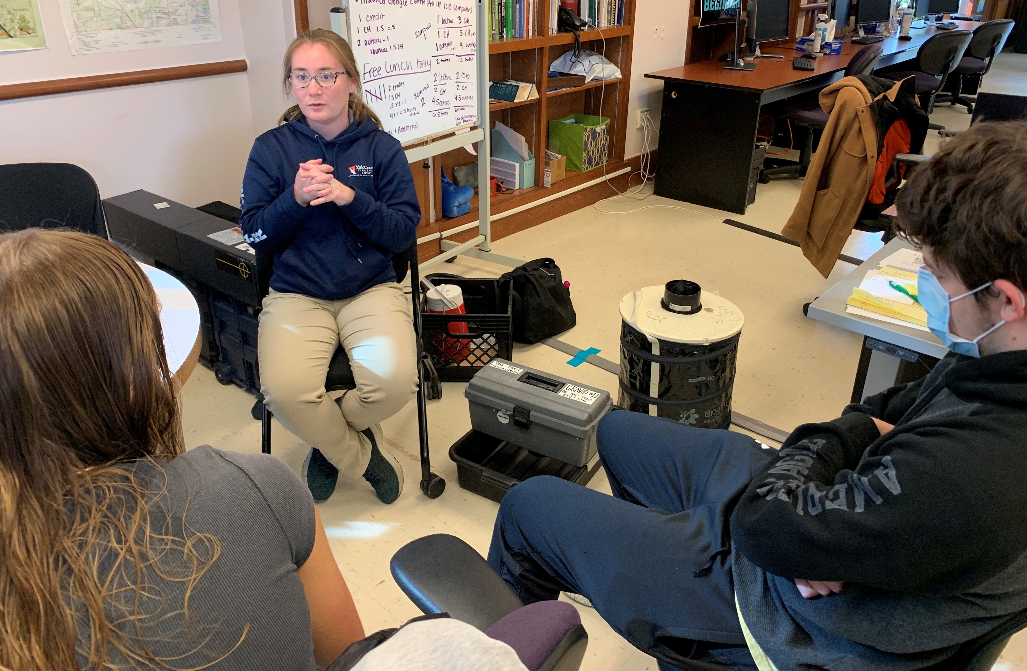
Mosquitoes and Public Health |