
A perfect storm?
A significant coastal-flooding event is occurring along the mid-Atlantic coast, as a low-pressure remnant from Tropical Depression Ida is traveling up the Atlantic seaboard. The coastal low is interacting with high pressure over New England to set up a pressure gradient that is bringing strong, gusty winds and significant storm tides to tidewater Virginia and other areas along the East Coast. Statements from the National Weather Service Office in Wakefield VA are comparing this scenario to a nor'easter in February 1998 that brought the highest storm tides to the lower Chesapeake Bay since the Ash Wednesday storm of March 1962.
Storm-surge guidance from the Global Forecast System (GFS) forecasts a storm surge of 5.5 feet for Hampton Roads (Sewells Point) late Thursday and Friday. If this surge occurs at the time of predicted high tide of 3.2 feet on Thursday and Friday, the potential exists for a storm tide of up to 8.5 feet above MLLW, which would exceed the values during Hurricane Isabel and come very close to the values reached during the Ash Wednesday Storm of March 1962.
NOAA Extratropical Storm Surge Prediction
National Ocean Service Water Level Observation Network
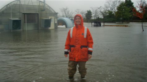
Web Cam: VIMS Teaching Marsh (updates every 30 minutes)